“Working with CodeCabin has been a game changer for our utility locating company. We save time in the field, and the deliverables we give our clients are so much more impressive. Best of all, we're building a data asset. Absolutely love it.”
ProMaps · Provac
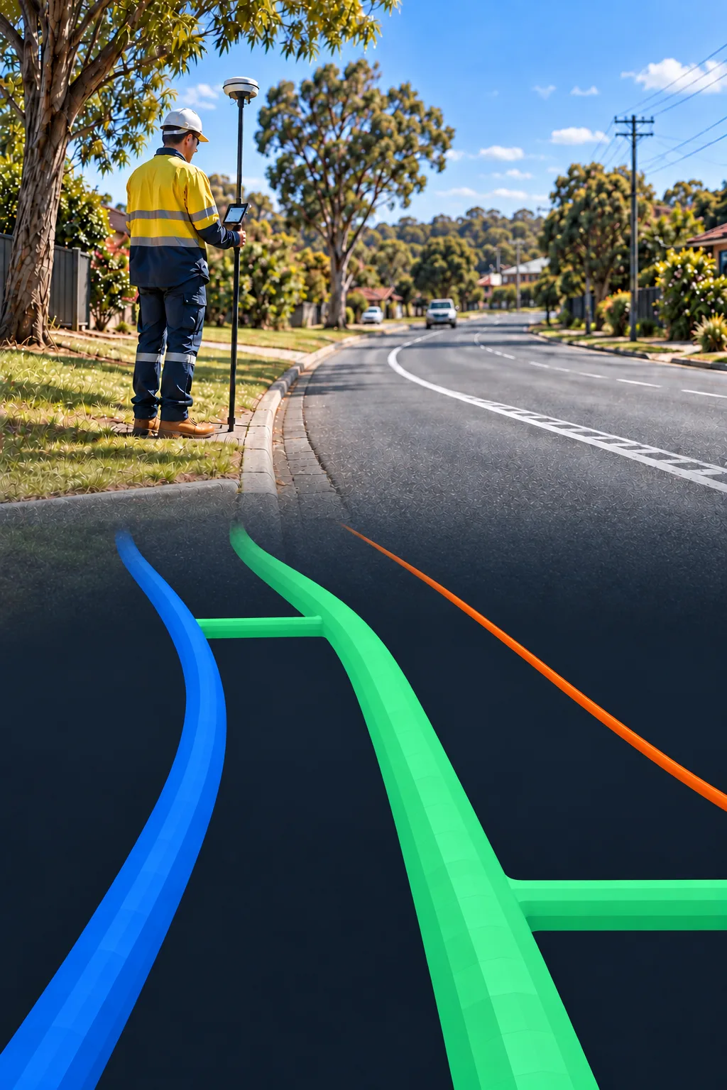
Underground utility networks, rendered in 3D
A GIS platform that turns survey data into something a field crew can actually read: pipes, depths and services visualised in three dimensions instead of buried in a spreadsheet.
- 20+
- Locators
- 100,000+
- Features mapped
- 500+
- Public data layers
About the organisation
Provac Australia is an underground service locating and non-destructive vacuum excavation (hydro excavation) company, working across the Gold Coast, Brisbane, South East Queensland and Victoria. Their locators survey and map underground utilities before crews dig, preventing damage to services that companies, contractors and communities rely on.
The challenge
Repeat visits
With no system of record for past jobs, locators often had to return to the same site to re-survey work already done.
Slow, manual reporting
Delivering a client-ready report after a locate job was a manual process that pulled locators away from fieldwork.
Expensive third-party tools
The team was paying for separate third-party mapping software that didn't fit how locators actually worked in the field.
What we built
Field Collector app
A field app for locators to capture utility finds on site, building a live system of record as they work.
Map styling tool
Lets the team style and present utility data clearly for client-ready reports.
Master map
Pulls together all of Provac's own survey data alongside 500+ public data layers into one navigable map.